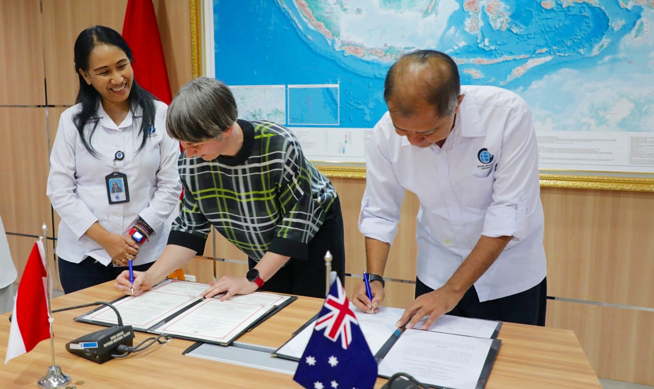
Cibinong, Geospatial News - The Indonesian government, through the Geospatial Information Agency (BIG), and the Australian government, represented by Geoscience Australia, signed a Memorandum of Understanding (MoU) on Indonesia-Australia cooperation in marine resource initiatives. The document was signed in two different locations; in Bogor, Indonesia on August 14, 2025, and in Canberra, Australia on August 18, 2025. BIG's
Secretary General Belinda Arunarwati Margono emphasized that this agreement is not just a signing of documents, but also a joint commitment to preserve and manage Indonesia's maritime territory with a science-based, technology-driven, and collaborative approach. "Today, we are not just adding signatures on paper, but also reinforcing our shared commitment to manage the marine domain with knowledge, integrity, and a long-term vision," she stated.
Through this MoU, BIG and Geoscience Australia agreed to strengthen cooperation in three main areas, namely marine mapping and marine geoscience, earth observations, and technical aspects of maritime law.
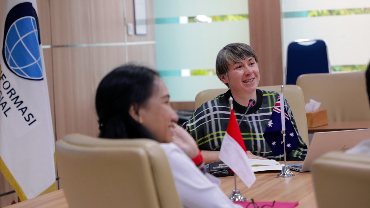
In her presentation, Director of Maritime Jurisdiction Advice Geoscience Australia Lauren Power explained that BIG is a strategic partner for Australia in building a marine data ecosystem in the Southeast Asian region.
"BIG has a central role in providing marine geospatial data in this region. Through this collaboration, we are not only building technical capacity but also promoting the utilization of data for marine spatial planning, coastal resilience, and more sustainable resource management," she stated.
Meanwhile, Assistant Director of Geoscience Australia Matt Ellis highlighted the importance of integrating technology and data between countries. "Collaboration with BIG allows us to combine earth observation technology, bathymetric mapping, and cloud-based geospatial analysis. With this approach, we can provide more accurate and relevant information to support public policy-making in both countries," he explained.
The agreement between Indonesia and Australia aligns with national priorities to strengthen the blue economy, enhance climate resilience, and promote digital transformation in the field of geospatial governance. BIG ensures that the results of this collaboration focus not only on technology development but also on the utilization of data and information that have a tangible impact on society.
"Every data that we generate together will be aimed at enhancing coastal resilience, supporting ecosystem restoration policies, and strengthening early warning systems," emphasized the Director of Thematic Mapping of BIG, Gatot Haryo Pramono.
With this MoU, BIG reaffirms its position as the main authority in the provision and management of Indonesia's marine geospatial data. Additionally, this collaboration is expected to impact the enhancement of internal technical capacity as well as the creation of a transparent, accurate, and broadly beneficial marine data ecosystem."
Reporter: Kesturi Haryunani
>Editor: Intan Pujawati