Cibinong, Geospatial News - Based on IG Law No. 4 of 2011, regarding geospatial information which in Article 23 that Government Agencies or Regional Governments hold IGT based on their duties, functions, and authorities in accordance with statutory provisions. And Article 57 states that BIG carries out guidance on the meaning, direction, planning, and evaluation of the administration of IGT. Coaching to IG users is carried out through a. Socializing the existence of IGs and their possible use; and / or b. education and technical training on the use of IG.
One of them is the implementation of the IG Law is the holding of geospatial information training on Monday, October 21, 2019, at the T Building, BIG Geospatial Training Center held the opening of GIS Basic Level Training Period 21 October to 1 November 2019.
Based on the Regulation of the Head of the Geospatial Information Agency Number 4 of 2012 concerning the Geospatial Education and Training Center as amended by the Head of the Geospatial Information Agency Number 4 of 2013, Article 2 states that the Geospatial Education and Training Center has the duty as a Technical Implementing Unit in educational activities and geospatial training.
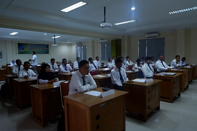
In his remarks at the opening of the training, the Head of the Geospatial Training Center, Sigit Murjati said that this training aimed to equip participants with knowledge and skills in the use of GIS technology. After attending this training, participants were able to enter geospatial data, build, process and manipulate geospatial databases and present geospatial information.
The material in this Basic Level GIS Training includes Map Knowledge, Map Coordinate and Projection Systems, GIS Concepts, GIS Database Concepts, Introduction to GPS for GIS, Spatial Data Entry, Attribute Database Management, Introduction to Spatial Analysis, Presentation of Geospatial Information, and Map Layout. In this time the event was divided into 2 (two) classes.
The Head of the Research, Promotion, and Cooperation Center, Wiwin Ambarwulan, said that participants had to dig a lot of geospatial science during the training so that it could be implemented when they reached their respective regions. And for this training, participants can also while walking around enjoying Cibinong after hours of study so as not to get bored during continuous training in class.
The participants this time came from various local governments, namely the Bangka Belitung regional government, East Belitung Regency, West Bangka Regency, South Bangka Regency, Central Bangka, West Lombok Regency, Pandeglang Regency, Kapuas Hulu Regency, Mahakam Ulu Regency, Pangkalpinang City, Membramo Tengah Regency and Bombana Regency. (NU)